


Article updated in July 2026
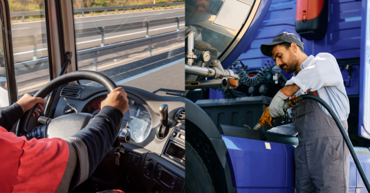
Road tolls are one of the unavoidable costs of operating an HGV (heavy goods vehicle) fleet across Europe. Whether your trucks travel occasionally across borders or spend weeks on international routes, toll fees can quickly become one of the largest operating expenses after fuel and labour – in some cases taking up to 28% of total transport costs.
For fleet managers, the challenge is not just the toll costs themselves, but also the process of payments. Missing a declaration, providing incomplete data or using the wrong setup can result in fines.
In this guide, discover the most important toll systems fleet managers should know about and how to simplify European toll management.
Main Toll Types in Europe
Generally speaking, European countries have either a distance-based or time-based (vignette) toll. There are some exceptions, however.
Tolls can be calculated differently on a country basis. In some cases, a company may find itself paying more than expected for the reasons we outline further in the article.
Distance-based tolls
The fee depends on the number of kilometres driven on toll roads, which is commonly tracked via special devices installed in trucks. European countries are steadily moving towards this toll type, mainly because it charges accurately – pay for what you used, nothing more, nothing less.
Feet managers must have a good route planning process in place to accurately calculate toll costs before a trip. Driver getting lost or taking unnecessary detours will result in higher toll costs. As distance-based tolling relies on data exchange between the tracking device and the toll system, it's important to monitor the data flow.
Each country calculates distance-based tolls differently, so that's another factor to consider when planning trips. Most notably, whether a country takes into account CO2 class (not just emissions class) may impact the final price tag in major way. Of course, the system rewards using electric vehicles.
Countries with distance-based tolls include:
-
Hungary
-
Switzerland
-
Germany
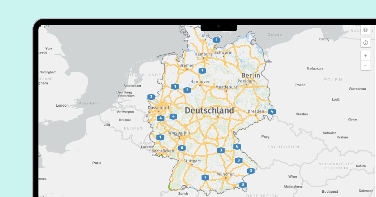
Germany, one of Europe's main trucking hubs, has more than 50 000 km of roads with distance-based tolls
Time-based tolls (vignettes)
Companies need to purchase access for a specific period rather than paying per kilometre. While for fleets it’s easier to plan costs, vignettes might introduce overpaying (bad for the company) or underpaying (bad for the road maintainer).
As of July 2026, this toll type is still active in several European countries:
-
Latvia
-
Estonia
-
Sweden
-
Luxembourg
-
Lithuania (switching to distance-based Jan 2027)
-
Romania (switching to distance-based Oct 2026)
Flat fees for special locations
Sometimes, on top of normal tolls, countries also ask for a payment to drive through specific locations, such as bridges and tunnels.
Examples include:
- Mont Blanc Tunnel & Fréjus Tunnel (France–Italy)
- Storebælt Bridge & Øresund Bridge (Denmark/Sweden)
- Warnow Tunnel & Herrentunnel (Germany)
No tolling at all
Last, but not least, there's an exclusive club of European countries that charge no tolls for trucks. These are Cyprus, Finland, and Malta.
Steps Towards Toll Simplification
It's worth noting that Europe is slowly addressing the toll complexity problem (directly or indirectly).
As mentioned, ever fewer countries still operate vignette type tolls. This shft is driven by EU's Eurovignette Directive, which, based on broader EU Treaties, requires a user pays / polluter pays approach to tolling.
In due time, all or nearly all European countries will have a distance-based tolling system, so fleet managers will know what to expect in each country without looking it up, despite some local differences in toll calculation.
Additionally, there's EETS (European Electronic Toll Service), a standard which essentially allows transport companies to pay a single invoice for toll roads of multiple countries. However, it does not cover all countries, and there's not many private fleet management solution providers that directly support it.
How to Reduce Toll Costs
When discussing toll roads, most people focus only on the toll cost itself.
In reality, administrative work often creates additional expenses that are harder to notice.
With that in mind, fleet managers can reduce toll-related costs through several approaches.
1. Optimise routes
Use special route planning software to calculate either a route with the shortest overall length, or one that goes through toll roads the least.
If you're actively trying to avoid toll roads, make sure that the savings are worth it. Alternative routes may be longer, requiring more fuel and driver work hours.
2. Use the right vehicles
Many toll systems calculate charges based on:
-
Vehicle weight
-
Number of axles
-
Emission class
- CO2 class
If possible, consider using specific vehicles for specific countries. For example, sending an electric truck through Austria will save you a lot in toll costs compared to a regular HGV, while Poland gives less incentive to go zero-emission.
3. Proactively monitor operational efficiency
Unnecessary detours and unauthorised trips can increase toll expenses without adding value to the business.
GPS tracking, route history analysis, and deviation alerts help identify these inefficiencies before they become recurring costs.
In some cases, drivers can genuinely get lost. Make sure they can follow the same planned route via a mobile app.
4. Centralise toll management
Using a single platform where you can connect your vehicles to different toll systems is essential to reduce the time it takes to be compliant with tolling.
Mapon is one such fleet management platform, allowing you to send location data to systems used in Poland, Hungary, and Switzerland. Combine it with built-in tools for route planning, location tracking, and alerts, and you have everything necessary to manage your international deliveries with ease.
Toll Reporting As a Vital Part of Fleet Management
Ten years ago, toll administration was often treated as a separate process from overall fleet management. Today, managers need a broader view of operations.
Now, vehicle tracking, route planning, fuel management, work and rest time monitoring, as well as toll reporting should all be connected.
Managing these functions through separate systems creates additional work and increases the likelihood of mistakes. By combining toll integrations with fleet management tools, companies can simplify daily operations and maintain better visibility across their entire fleet.
Mapon offers integrations with several European toll systems, helping transport companies achieve just that!
Poland: e-TOLL
The system uses positioning data to calculate toll charges based on the distance travelled, vehicle weight, number of axles, emission class, and road class.
Mapon integrates directly with e-TOLL, allowing vehicle data to be transferred automatically with toll authorities. This removes the need for separate devices and helps reduce the risk of reporting errors.
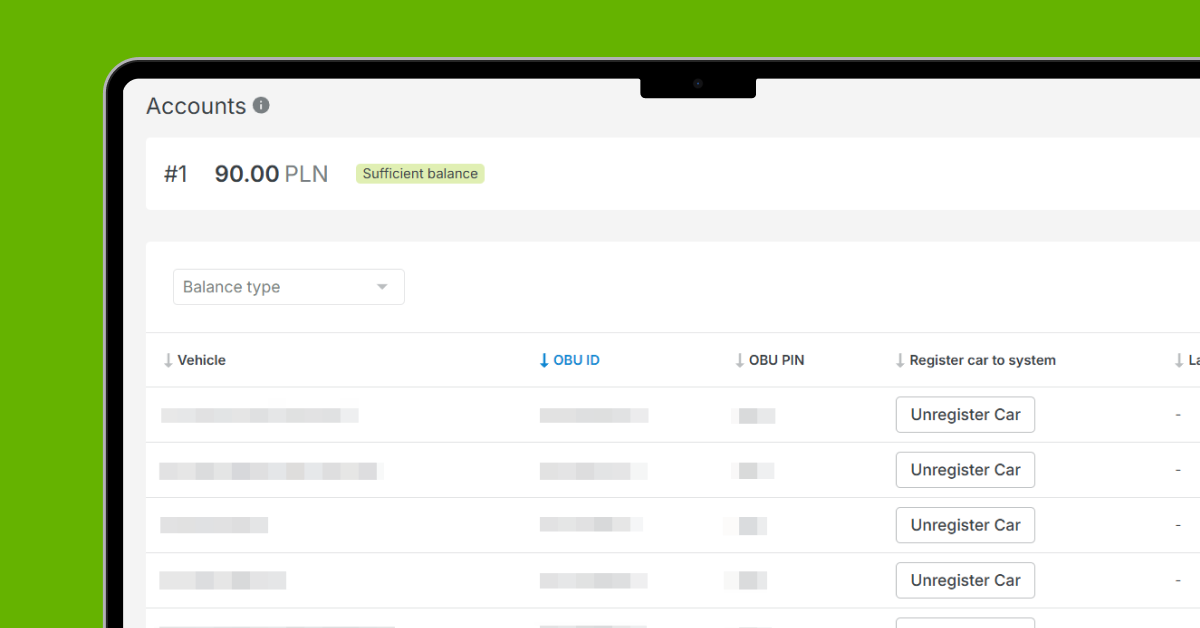
Fleet managers can also view the current e-TOLL balance to make sure there's funds available for upcoming payments. Additionally, Mapon platform provides various alerts whenever there’s something that needs attention.
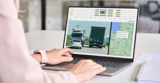
Mapon's integration with e-TOLL
Poland: SENT-GEO
While not really a toll system, it’s worth mentioning SENT-GEO. Besides e-TOLL, transport companies carrying specific categories of goods in Poland may also need to comply with SENT-GEO requirements. The system monitors the transport of selected goods, including fuels, lubricants, heating oils, alcohol products, dried tobacco, and other goods considered sensitive by Polish authorities. Vehicle location data must be available throughout the journey.
Failure to comply can result in significant penalties, with fines reaching up to PLN 100,000 (approximately €23,000) in serious cases.
Mapon supports SENT-GEO reporting, allowing companies to manage multiple compliance requirements using the same telematics platform.
Hungary: HU-GO
HU-GO is Hungary's distance-based toll system for heavy vehicles.
Charges depend on several factors, including:
-
Distance travelled
-
Weigth (as axle count)
-
Emission class
- CO2, air/noise pollution class
-
Road category
- Time of day
Mapon's HU-GO integration automates the transfer of required vehicle data, helping fleet managers spend less time on administration and more time managing operations.
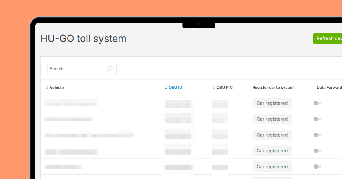
Mapon's integration with HU-GO
Switzerland: LSVA III
Switzerland applies the Heavy Vehicle Fee (LSVA) to freight transport vehicles. It checks distance travelled, weigth, and emission class.
The country introduced LSVA III in 2026, a new generation of the system designed to improve digital data exchange and reporting. Fleets must use one of the approved tracking service providers.
Mapon's LSVA III integration is officially certified. It allows mileage data to be transmitted automatically, reducing manual work and helping companies meet reporting requirements efficiently.
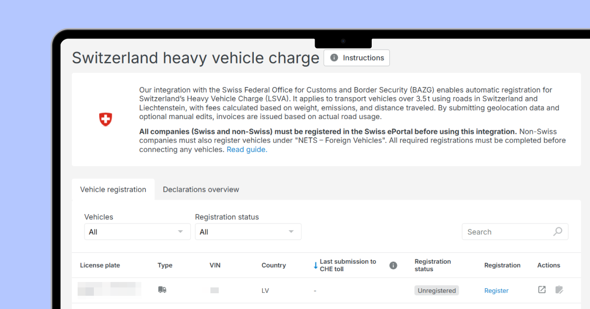
Mapon's integration with LSVA III
Managing European Toll Roads More Efficiently
Road tolls will remain an important part of transport operations across Europe. While every country has its own rules and systems, the goal for fleet managers remains the same: stay compliant, minimise administrative work, and keep operating costs under control.
Automating toll reporting and vehicle data exchange can significantly reduce the time spent on administration while lowering the risk of costly errors.
Mapon provides fleet management solutions together with integrations for e-TOLL, HU-GO, LSVA III, and SENT-GEO, helping transport companies manage toll and compliance requirements through a single platform.


_mobile.webp_mobile.webp)